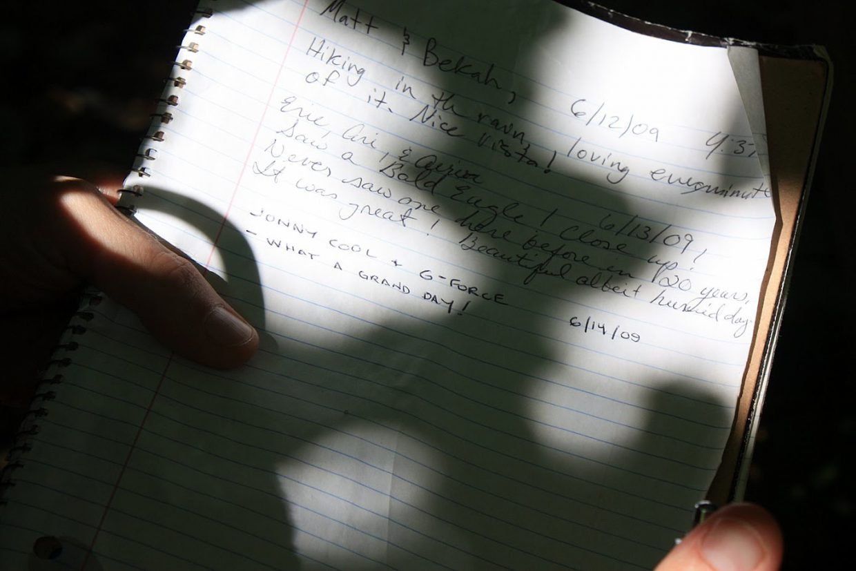
Back to the Ridge Top and the Mid State Trail! G-Force and I continued clicking off the miles on the MST, adding approximately 5 miles during Day Hike 6. This hike was a point to point from Pennsylvania Furnace Road to Jo Hays Vista (the end point for Day Hike 4 as well).
It was a grand day that started off very cool in the woods. So cool, in fact, I could see my breath at one point. We passed the foundation of the Tussey Lookout Tower, what looked to be a very old MST marker topped off with a railroad spike, several campsites, a power line vista, and a little black snake in the grass who we both almost stepped on.
And to top it all off, the Mountain Laurel was in full bloom.
More on the Tussey Lookout Tower:
DESCRIBED BY COAST AND GEODETIC SURVEY 1941
THIS INTERSECTION STATION IS THE TUSSEY LOOKOUT TOWER WHICH IS LOCATED ABOUT 9 MILES SE OF THE VILLAGE OF PORT MATILDA. IT IS A FOUR-LEGGED STEEL STRUCTURE ABOUT 75 FEET HIGH WITH A GLASS-ENCLOSED CAB ON TOP, OWNED BY THE PENNSYLVANIA DEPARTMENT OF FORESTS AND WATERS. THE APEX OF THE ROOF WAS THE POINT OBSERVED UPON.
